Geography of Vietnam
Vietnam is a narrow strip of land reminiscent of the letter S. Located in the Indochinese peninsula in Southeast Asia, it shares borders with China to the north, Laos and Cambodia to the west. It opens on the East Sea to the east and the Pacific to the south.
The coast stretches for 3,260 km and the land borders for 4,510 km. As the crow flies, the distance from north to south is 1,650 km. The maximum width is 600 km in the north and 400 km in the south, while the minimum width is only 50 km in the center, in the Quang Binh area.
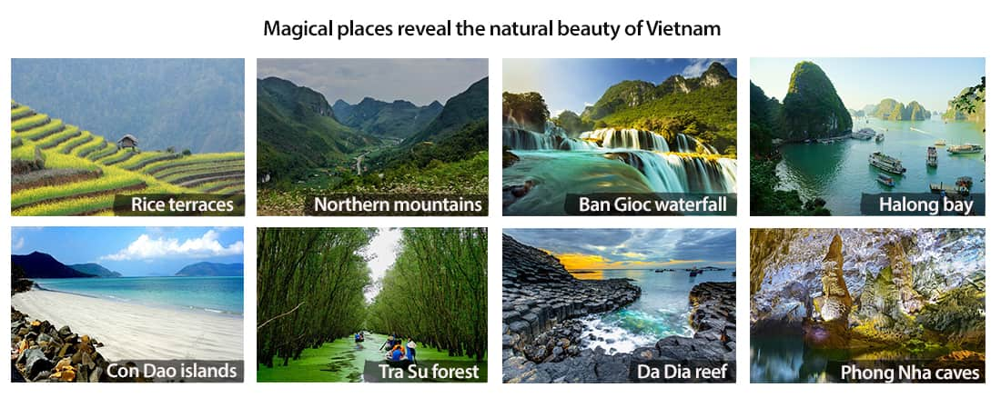
The country is made up of three regions: the north with the mountains and the Red River Delta, the center with its great coastal plains, the plateaus that run along the Truong Son mountain range and the south with the Mekong Delta.
Mountain ranges, such as Hoang Lien Son, Son La, Moc Chau in the north, Bach Ma, Truong Son, Kon Tum, and Dak Lak in the central highlands, give Vietnam a special relief.
The deltas, densely populated areas, occupy a quarter of the country's area, with that of the Red River to the north and that of the Mekong to the south.
We find mostly tropical evergreen or deciduous forests in mountainous and mangrove areas in coastal lands.
The network of rivers is very dense, and hydrography, one of the largest in the world, is abundant. The eastern sea has more than 2000 km of coastline, and is full of more than 2,800 islets.


